
¤ 8 minutes Read
Thekkady Travel Guide: Periyar, Wildlife, Spice Plantations & More
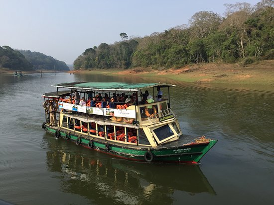
Thekkady sits high in Kerala’s Idukki district, close to the Tamil Nadu border. Unlike a conventional hill station built around viewpoints and town streets, much of the experience here revolves around the forests, waterways and plantations of the Periyar landscape. Kerala Tourism places the area roughly 900 to 1,800 metres above sea level.
At its centre is Periyar Tiger Reserve, with forest surrounding the large artificial lake formed after the construction of the Mullaperiyar Dam. The reserve supports elephants, gaur, sambar, tigers, several primates and a wide variety of plant life. Wildlife sightings are never guaranteed, however, and Thekkady is better approached as a forest destination rather than simply a place to spot a tiger.
Four Landscapes in One Destination
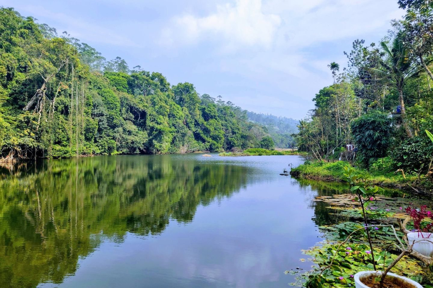
Periyar Forest
The protected forest around Periyar is the reason Thekkady developed into a major nature destination
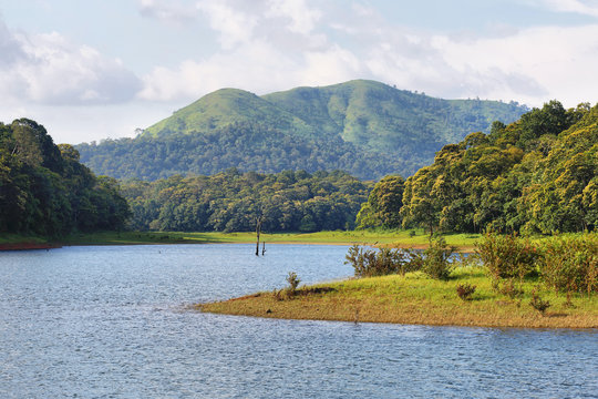
Periyar Lake
Calm stretches of water, forested banks and partially submerged tree trunks create a landscape quite different from Kerala’s better-known backwaters.
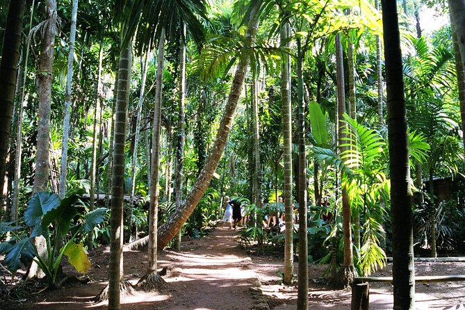
Spice Country
The hills around Kumily and the wider region are associated with crops such as cardamom, black pepper, coffee, cinnamon and cloves.
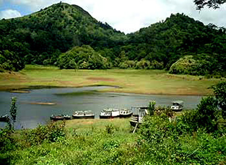
Kumily
Kumily as the town and Thekkady as the adjoining tourism and forest area, even though the names are often used interchangeably
How Thekkady Became a Protected Forest
The story of Thekkady is closely tied to the protection of the forests around the Periyar River. The area was first brought under formal forest protection during the rule of the Travancore kingdom. In 1899, the Periyar Lake Reserve was established, covering the forests surrounding the reservoir.
Protection expanded during the 20th century. The area became the Periyar Wildlife Sanctuary in 1950 and was brought under Project Tiger in 1978. Later conservation measures expanded the protected landscape and strengthened its role as one of Kerala’s important wildlife reserves.
1890
Mullaperiyar Dam & Reservoir
1899
Periyar Lake Reserve
1950
Wildlife Sanctuary
1978
Project Tiger
One event had already transformed the landscape before these conservation milestones: the construction of the Mullaperiyar Dam in the 1890s. Water spread through parts of the forest, creating the reservoir now known as Periyar Lake. The bare trunks still visible above the water are remnants of that flooded landscape.
Thekkady Beyond the Forest
The landscape does not end at the reserve boundary. Short drives from Thekkady lead to viewpoints, plantation country and smaller settlements where the Western Ghats begin descending towards Tamil Nadu.
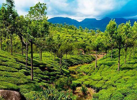
Vandiperiyar
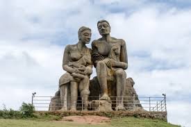
Ramakkalmedu
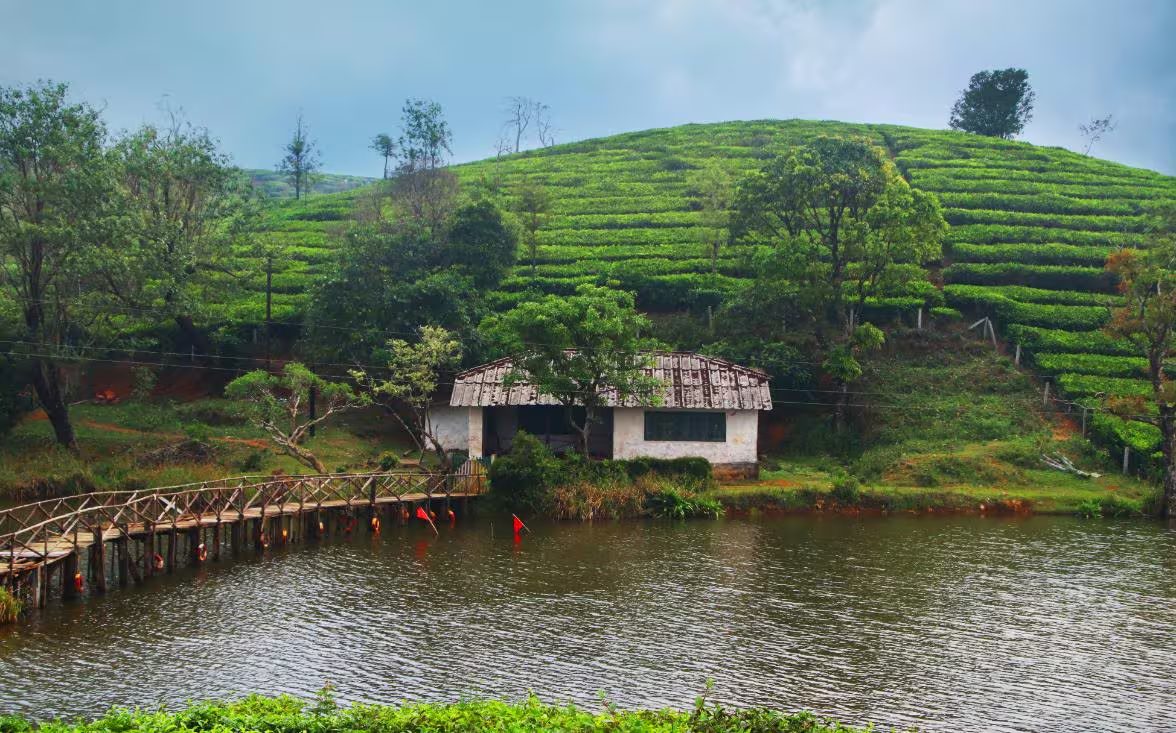
Vagamon
Vandiperiyar is closely associated with tea and spice cultivation and offers a look at the region’s plantation economy. Ramakkalmedu, farther north, is known for its exposed hilltop terrain and broad views across the plains below. Travellers continuing through Idukki can also combine Thekkady with destinations such as Vagamon.
When to Visit Thekkady?
October to February brings comparatively cooler conditions and is comfortable for walking, sightseeing and spending longer periods outdoors.
From March to May, temperatures rise, although the surrounding hills remain greener than many lower-lying parts of Kerala. Early mornings are generally better for outdoor activities during this period.
The southwest monsoon, roughly June to September, transforms the landscape. Forests and plantations become intensely green, but heavy rain can affect trekking and other outdoor plans. Travellers visiting during the monsoon should keep their itinerary flexible.
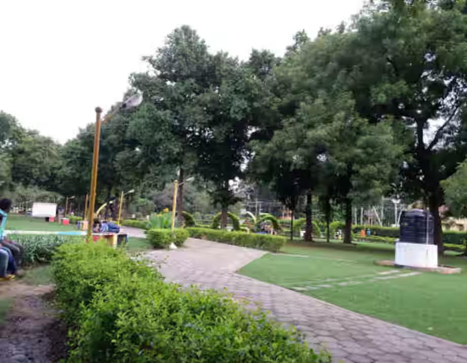
The People Behind Periyar’s Conservation
The forests around Thekkady are also home to indigenous communities, including the Mannan, Paliyan, Urali, Mala Araya and Malampandaram communities. Their connection with this landscape predates modern tourism and organised wildlife conservation.
Today, members of local communities participate in Periyar’s ecotourism and conservation programmes. Some work as forest guides and watchers, bringing their knowledge of the terrain into activities managed around the reserve.
The Spice Side of Thekkady
Thekkady lies within Kerala’s Cardamom Hills, and spices are part of the working landscape rather than simply something sold in local shops. Cardamom thrives beneath the shade of taller trees, while pepper vines climb supporting trees and coffee, cloves and other crops appear across plantations in the region.
A guided plantation visit can be worthwhile because many spices look surprisingly different before harvesting and processing. Cardamom pods, for example, develop close to the base of the plant, while black pepper begins as clusters of small green berries.
Cardamom is the star here. Kerala’s high ranges provide the cool, humid and shaded conditions the crop needs, and the Cardamom Hills take their name from its long association with the region.
What to See Around Thekkady
Rather than treating Thekkady as a single attraction, it helps to pick a few places that show different sides of the area.
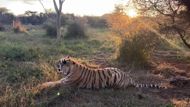
Periyar Tiger Reserve
The main natural attraction, with forest, lake scenery and organised activities within the protected area.
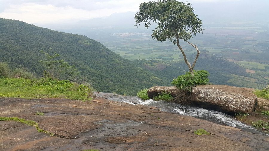
Chellarkovil
A quieter excursion from Thekkady, known for its elevated views towards the plains of Tamil Nadu.
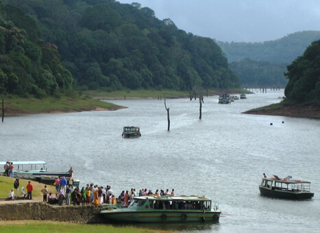
Pandikuzhi
A scenic area between Chellarkovil and the Tamil Nadu border, with valleys, streams and plantation-covered slopes
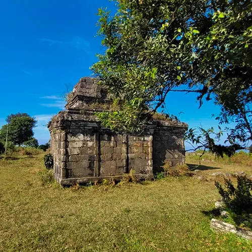
Mangala Devi Kannagi Temple
Hidden within the forest near the Kerala-Tamil Nadu border, this ancient temple is associated with Kannagi.
A Final Look at Thekkady
Thekkady works best when it is not treated as a checklist of attractions. Its character comes from the way forest, water, plantations and the small town of Kumily sit so close together. Periyar gives the destination its wild setting, while the spice-growing hills reveal another side of the Western Ghats. Add the changing weather, plantation roads and views towards Tamil Nadu, and the experience feels quite different from Kerala’s coastal destinations or conventional hill stations.
Explore Kerala
Varanasi Blogs
- Uttar Pradesh Cultural guide
- Places to visit in Varanasi
- Places to visit nearby Varanasi
- India’s most popular destination
- India’s archaeological marvels
Recommended articles
- Uttar Pradesh Cultural guide
- Places to visit in Varanasi
- Places to visit nearby Varanasi
- India’s most popular destination